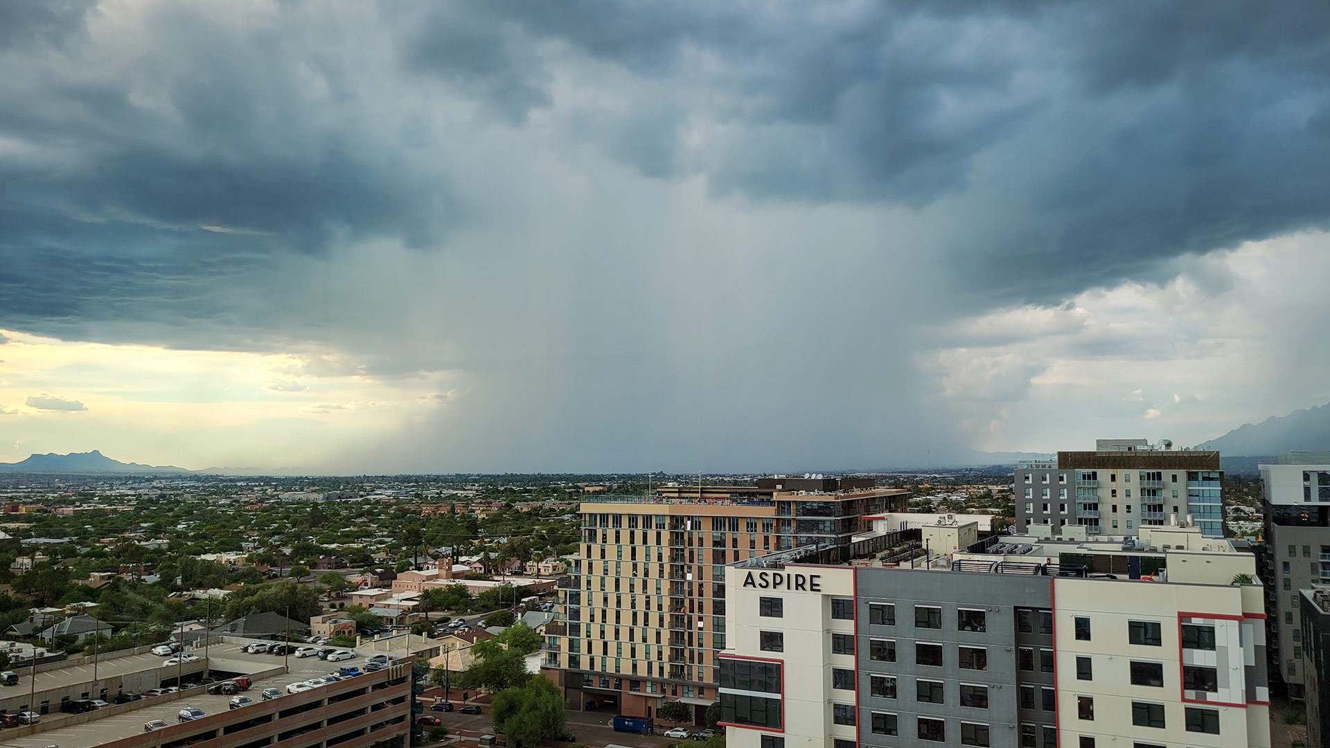
 A monsoon storm drops localized, heavy rainfall over northwest Tucson, Marana, and Oro Valley. From August 2022.
Tucson meteorologists say this summer will bring a unique transition between El Niño and La Niña conditions.
Meteorologists have tracked only 10 similar weather pattern transitions since the 1950s, and most have produced wetter than average monsoons.
Except this year, Southern Arizona is coming off of a relatively wet winter, which typically produces drier summers.
Lead meteorologist Alex Edwards for the National Weather Service in Tucson said most models are indicating below average precipitation, but the competing patterns are making predictions complicated this year.
“The probability is leaning drier, but that doesn’t mean there won’t be impacts from severe thunderstorms; flash flooding, blowing dust. We’ll see thunderstorms here in southeastern Arizona, just a question of how much we do and who it impacts,” he said.
Edwards said navigating uncertainty in a weather pattern like this comes down to collecting and condensing as much data as possible.
“It's a combination of using what we've seen in the past, and then global models,” he said. “What we call an ensemble of models might be 12 different computer models with different styles of how they compute things, and how they take in data. If we can get those computer models to agree on something, then that gives us confidence and that outcome.”
Although the official start to monsoon season is June 15, most storm activity doesn’t ramp up until at least July, when meteorologists say La Niña conditions are likely to reach their peak this year.

By submitting your comments, you hereby give AZPM the right to post your comments and potentially use them in any other form of media operated by this institution.