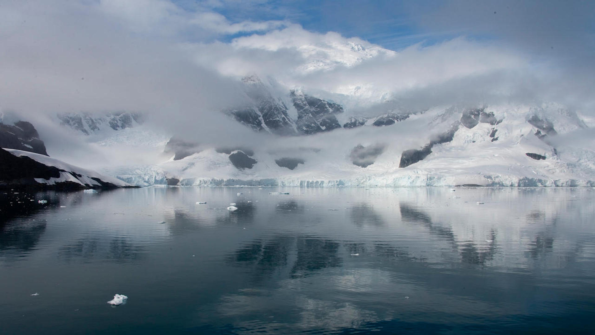
 Antarctica landscape.
Scientists are using remote sensing satellites to gather information about the land and water around Earth’s south pole.
University of Arizona Hydrology and Atmospheric Sciences professor Ali Behrangi is among the researchers using data collected from orbit to measure the rate of snowfall in the region, discovering how climate change is altering precipitation patterns around the South Pole.
"For climate studies, we need accurate long term and consistent data," commented Behrangi.
The Antarctic observations are a part of the Global Precipitation Climatology Project (GPCP), a study of worldwide climate that started in the 1990s. Behrangi says the program provides a consistent analysis of global precipitation from an integration of various satellite data sets over land and sea. He's been the project's principal investigator since 2017, supported by funding by NASA. Findings from the GPCP have been used in more than 5,000 publications, and it's a major data resource for many climate change reports.
Antarctica doesn't get much snow, but the amount it does receive is important. "A lot of precipitation happens along the coastal regions, however the land in the middle is basically a dry desert," notes Behrangi.
The continent is about 50 percent larger than the contiguous United States. Most of it is covered by the Antarctic ice sheet, which has an average thickness of 1.9 kilometers. The ice sheet contains 60 to 70 percent of the planet's total freshwater supply.
"There is a massive amount of freshwater stored in the ice," explains Behrangi. "It contains enough ice to raise the global mean sea level by 58 meters if it all melted. The global average sea level has increased more than 21 centimeters since 1900, and by the end of the century the net ice loss from Antarctica alone is expected to add about 11 centimeters to the global sea level rise."
As the climate warms, the health and fate of the ice sheet and its contribution to sea level rise depends on the inflow and outflow from the Antarctic landscape.
"The inflow to the continent is essentially snowfall that we quantify, and the outflow is the ice discharge to the ocean and sublimation," said Behrangi. "Satellite data has been crucial to tracking these changes, and observations indicate that although there is some ice accumulation inland, the coastal regions in west Antarctica are melting much faster, and the overall trend for Antarctica shows a significant mass ice loss."
Behrangi's research team was recently selected by NASA to further improve the next generation of GPCP work, which is expected to show improvements in accuracy and consistency in precipitation measurements around the South Pole and globally.
"We will work with multiple scientists from different disciplines to better understand the needs, verify our findings and maximize the impact of our work and contribution to the science," Behrangi said.

By submitting your comments, you hereby give AZPM the right to post your comments and potentially use them in any other form of media operated by this institution.