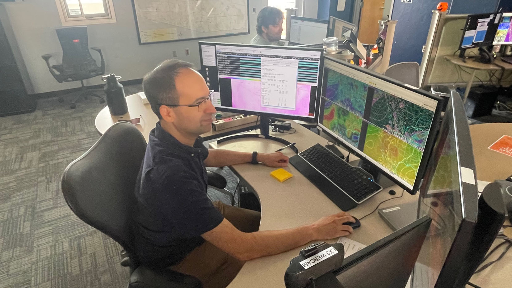
 Glenn Lader is a meteorologist at the National Weather Service in Tucson, which has seen record-setting high temperatures in 2024.
Southern Arizonans might want to cut the sleeves off their Christmas sweaters this week, with more dry conditions and above-average temperatures in the forecast.
Meteorologists at the National Weather Service in Tucson said temperatures are on track to break the warmest December on record since 1894.
The week before Christmas saw many parts of Southern Arizona approaching 80 degrees. With only a slight cooldown of mid 60s highs starting Christmas Day, Lead Meteorologist Glenn Lader things are likely to stay above average.
“It's all averaging about five to six degrees above normal for the first solid half of December, and the way things are shaking out, we're going to be in a continued warm pattern,” said Lader.
There’s currently no rain in the forecast, and Lader said persistent dry conditions will probably add this month to only six other Decembers with no recorded precipitation since 1894.
“There's a very decent likelihood that we're not going to end up with any precipitation for the month of December,” he said.
Lader said the lack of precipitation is due to an impending La Niña cycle, although it hasn’t been officially declared yet.
“We're right on the precipice of a La Niña, which is a cooling of the sea surface temperatures in the tropical Pacific waters, meaning that sea surface temperatures are below normal,” he said.
La Niña conditions can impact warmer temperatures, but are mostly felt in drier than average conditions for Southern Arizona, said Lader.
Lader said drier than average winters can trigger an earlier start to wildfire season and increasing drought conditions throughout Arizona.

By submitting your comments, you hereby give AZPM the right to post your comments and potentially use them in any other form of media operated by this institution.